The Iowa Geographic Map Server (OrthoServer) is ONLINE.
If you wish to report a problem or be notified of changes in server status, please send an email to jobrecht@iastate.edu.
LiDAR elevation data capture for the state was completed in 2021, all elevation products have been received. These products can be accessed from GISF image services and the OrthoServer web viewers.
There is additional information and a data download link for HUC12 and county based 1-meter DEM datasets at this location.
The GIS Support and Research Facility is a public computing facility established to support the use of geographic information system (GIS) technology at Iowa State University. The mission of the facility is to provide high level GIS research support for students, faculty and staff as well as to provide GIS education and outreach to the ISU community and the state of Iowa. The Facility includes a research lab (218 Durham) and a teaching lab (248 Durham). The GISF has an administrative home in the College of Design but serves the GIS needs of the entire university.
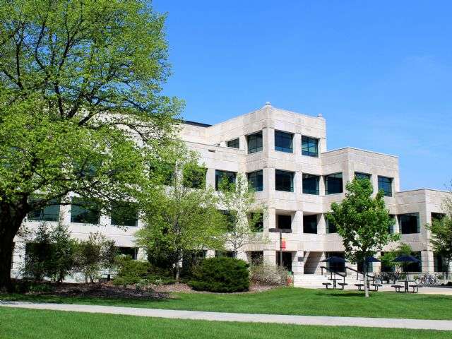
- 1 Picture of Durham Center
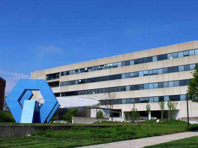
- 2 Picture of the College of Design
For GIS questions, lab information or software use, contact our staff:
ISU GIS Research Lab
gissupport@iastate.edu
Josh Obrecht, Operations Lead
213 Durham Center
jobrecht@iastate.edu
515-294-6990
Project Consulting and Management, Classroom Scheduling, Software
Brian Gelder, Academic Lead
3321 Elings
bkgelder@iastate.edu
515-294-3144
GIS Academic and Research consultant
Wael Alhaj, GIS Analyst
215 Durham Center
walhaj@iastate.edu
515-294-3860
Projects
Colton Clack, GIS Analyst
219 Durham Center
cclack@iastate.edu
515-294-2087
Projects
Gregg Hadish, GIS Analyst
218 Durham Center
gahadish@iastate.edu
515-294-6516
OrthoServer
Amy Logan, GIS Analyst
219 Durham Center
amylogan@iastate.edu
515-294-0980
Outreach, Projects
Chris Harding, GIS Consultant
1620 Howe
charding@iastate.edu
515-294-4868
Consulting
Student GIS Technicians
Issah Abdulai, CRP
Christen Bain, Ag Eng.
Michaela Beck, Tech Communication
Yasaman Maleki, CRP
Lauren Neal, CRP
Umme Samanta, CRP